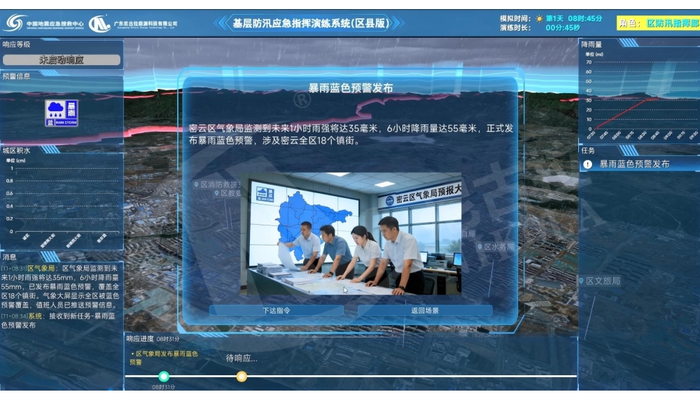
A full-process digital drill platform for real flood control response, with one director screen plus five command posts for region-wide coordination and closed-loop control. A visual electronic map shows rainfall, water levels, weather warnings and hazard points dynamically. Sixteen built-in grassroots units automatically report road flooding, landslides and over-limit water levels to command terminals. Command posts watch live video, hold consultations and issue orders, share the same situation view and track acceptance, handling and completion end to end. The director monitors progress, injects scenarios in sequence and generates a quantified assessment report.
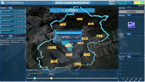
Grassroots Flood Control Emergency Command Drill System (Township/Street Edition)
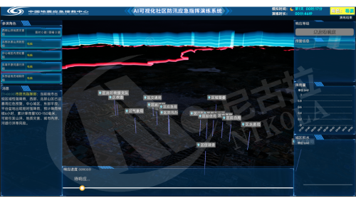
AI Emergency Command Drill System
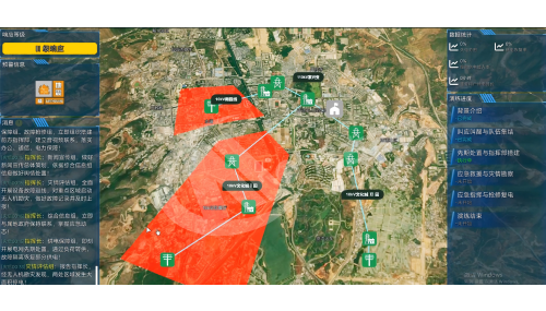
AI Earthquake Emergency Drill Plan Deduction Simulation System

AI Emergency Plan Generation System
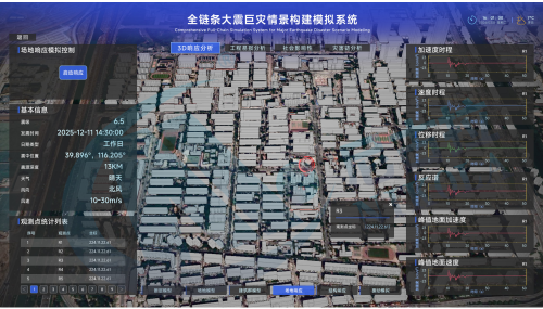
Full-Chain Major Earthquake Scenario Simulation System
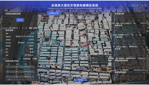
AI Emergency Simulation and Deduction System
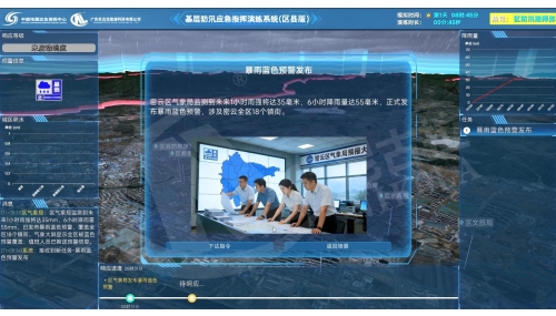
Grassroots Flood Control Emergency Command Drill System (District/County Edition)
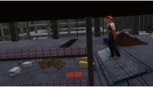
Mobile Scaffold Collapse VR Experience